Your Guide to the
Alle-Kiski Valley
and the Greater
Pittsburgh Area
Tuesday
July 01, 2025
Home
Go Outside
History
Diversion
Back Issues
|
History - Our Towns
|
Freeport
|
|
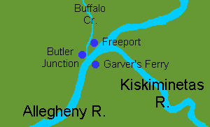
Map showing Freeport and neighboring towns. |
|
|
|
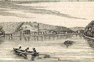
A distant view of Freeport, 1845. Looking north from the center of the Allegheny River, note the aquaduct for the Pennsylvania Mainline Canal over Buffalo Creek on left.
|
|
|
|
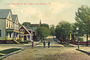
Early 20th Century view of Freeport. Corner of High and 3rd, looking east.
|
|
|
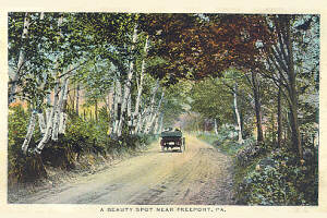
| Early 20th Century view of "A Beauty Spot Near Freeport."
|
|
|
|
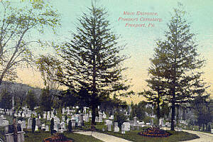
Early 20th Century view of Freeport Cemetery.
|
|
|
|
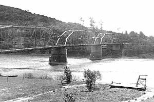
The old road bridge from Freeport to Garver's Ferry. This bridge predates the current bridge which was constructed in the mid-1960's. Photo courtesy of Bill Blystone.
|
|
|
|